This page features selected projects that illustrate my core interests and the skills I bring to planning, research, and community‑focused work.
ArcGIS StoryMap: Food Security and Community Resilience
ArcGIS StoryMap created for the class “Civic Agriculture.” Examines the current state of food security in Eugene, Oregon, and proposes strategies for building stronger local food systems to improve community resilience.
Report: Urban Design Proposal
A comprehensive redevelopment plan for a 35-acre site in Eastside Bend, Oregon, emphasizing placemaking, climate resilience, and equity. Delivered via a formal pitch presentation for the City of Bend planning staff, in partnership with the University of Oregon’s Sustainable City Year Program.
Proposal: Central Oregon Coastal Hazard Resilience Collaborative
Presentation created for the class “Collaboration and Regional Management.” Proposes the creation of a collaborative organization focused on building natural hazard resilience for the Central Oregon Coast.
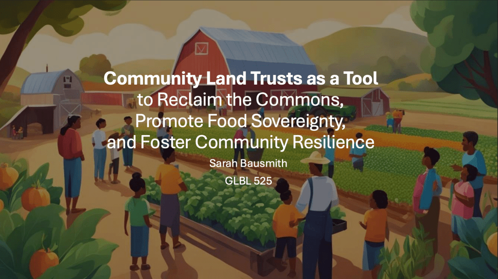
Backgrounder: Land Trusts and Community-Based Agriculture
Created for the class “Food Sovereignty.” Describes how community land trusts can be used as a tool to collaboratively manage land, promote food sovereignty, and foster community resilience. Grounded in the theoretical framework of political ecology and incorporating two case studies.
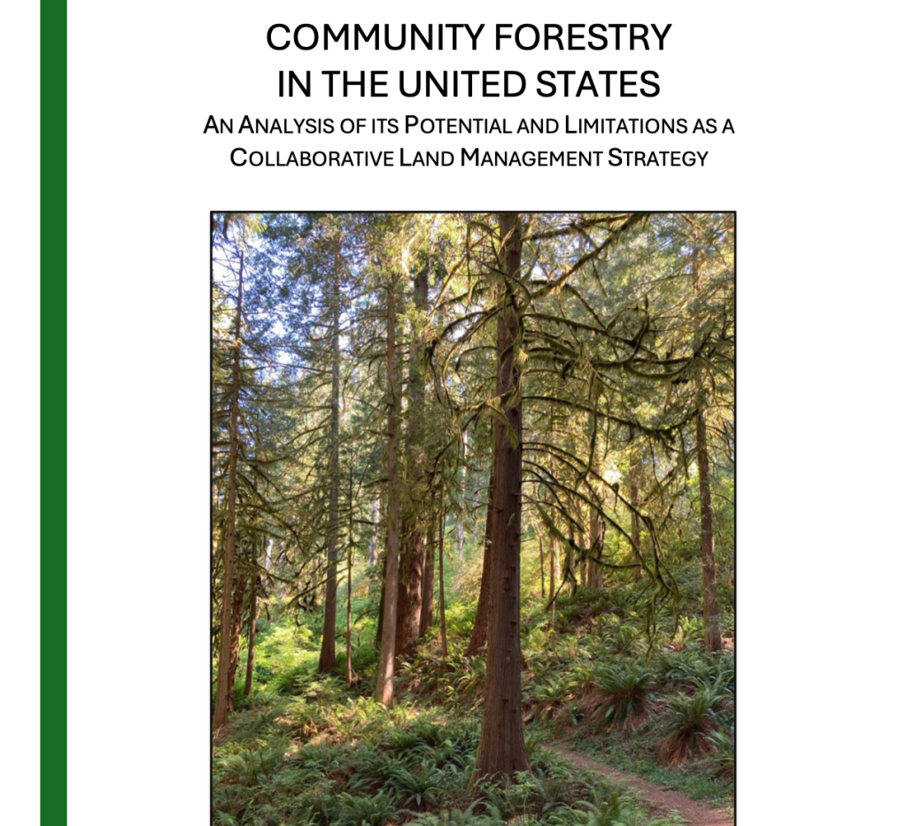
Research Paper: Community Forestry in the United States
Research paper written for the class “Collaboration and Regional Management.” Analyzes the benefits and limitations of community forestry in the United States as a collaborative land management strategy.
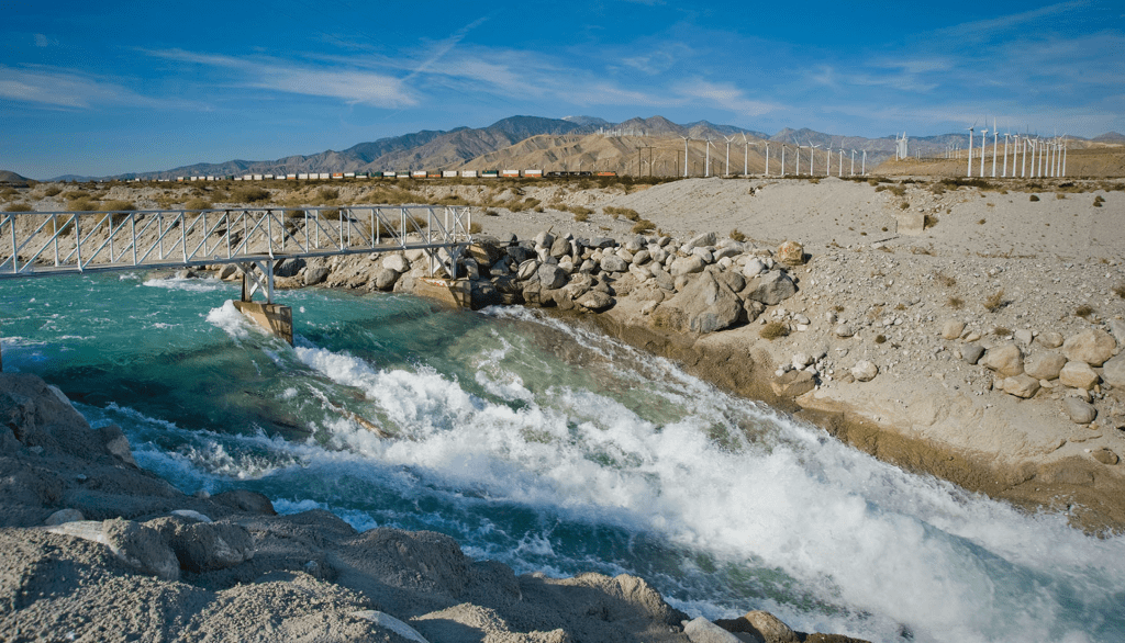
Policy Analysis: Tribal Groundwater Rights
Policy analysis written for the class “Natural Resource Policy.” Examines the case of Agua Caliente Band of Cahuilla Indians v. Coachelle Valley Water District. Demonstrates the challenge of managing shared natural resources as a landmark moment in the issue of tribal groundwater rights. Analysis examines historical, social, political, and environmental aspects of the issue.
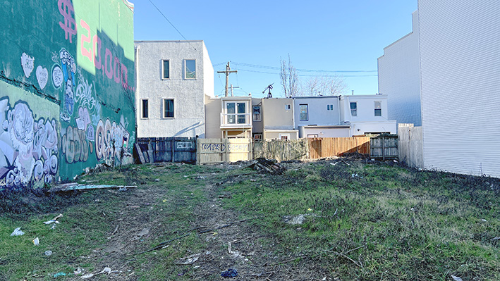
Policy Memo: Vacant Lot and the Philadelphia Land Bank
Policy memo written for the class “Environmental Justice.” Discusses the issue of vacant lots in Philadelphia, Pennsylvania, where a citywide land bank was created to manage vacant parcels for public benefit. Analyzes the historical context, current challenges, and opportunities for improvement.
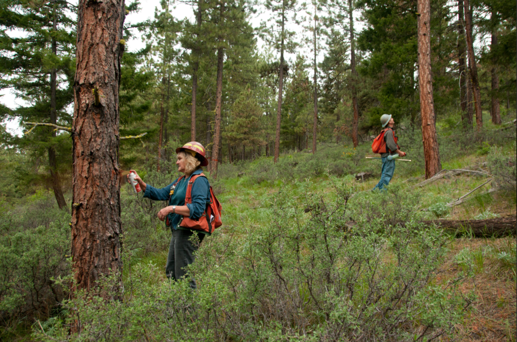
Case Study: Tapash Sustainable Forestry Collaborative
Case study paper written for the class “Collaboration and Regional Management.” Examines the Tapash Sustainable Forestry Collaborative, an initiative focused on landscape-scale conservation and restoration through cross-boundary partnerships. Compares the cooperative land management approach of this initiative to key theoretical perspectives on collaboration.
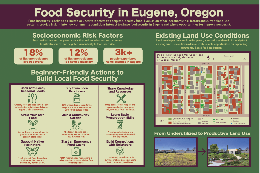
Poster: Food Security in Eugene, Oregon
Large-format poster on the issue of food security in Eugene, Oregon. Examines socioeconomic factors and land use conditions that increase food insecurity vulnerability, but can also be opportunities to increase security. Created using Adobe Illustrator, Photoshop, and InDesign software. Combines first-hand observational data collection, Census data, and public agency guidance about building food security.
Manual: Setting Science-Based Targets for Nature
Project managed and co-authored in my prior role at the Science Based Targets Network. Resource intended to help corporate sustainability experts and nature leads set science-based targets for nature. Distills 500+ pages of technical guidance with a focus on simple, accessible language.